Approach and surroundings
How to get to us!?
AUTO:
From Munich on A95 direction Garmisch, exit Murnau/Kochel.
9 km to Kochel am See.
In Kochel direction Walchensee/Mittenwald.
The campsite is located at the end of the village on the right side of the water.
PUBLIC TRANSPORTATION:
From Munich, the regional train leaves every hour via Tutzing to the station in Kochel am See.
Change to bus direction Mittenwald/Garmisch to bus stop “Altjoch”.(Bus timetable)
Just before the stop you will see the campsite on the right.
From the bus stop it is 300m walk to the square.
Address
Camping Renken
Mittenwald Street 106
82431 Kochel am See
Germany
Phone
+49 8851 615 505
info@campingplatz-renken.de
Environment
The Kochelsee is located about 60 km south of Munich at the foot of the Alps.
The varied landscape is characterized by the vastness of the Kocheler Moor on one side of the lake and the wild romantic mountain massifs that rise steeply on the other side.
But not only the landscape offers variety.


NEAR THE SQUARE:
- Restaurants & Cafes
- Grocery stores
- Ärtze
- Banks
- Bicycle store
EXCURSION DESTINATIONS IN THE SURROUNDING AREA:
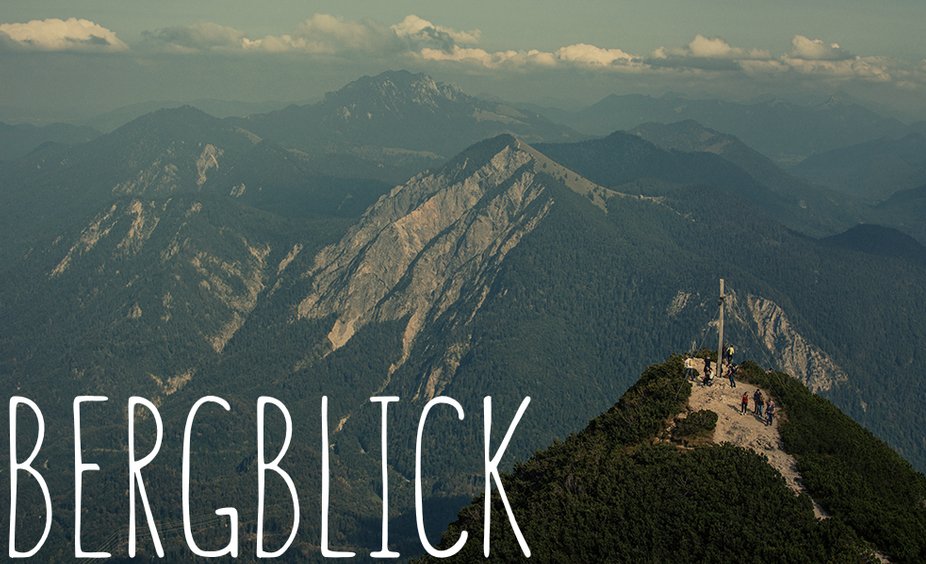
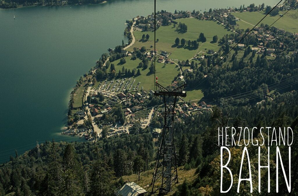
- Hiking: Herzogstand, Jochberg, Rabenkopf, Lainbach Falls, Kesselbach Falls
- Cycling: Kochler Moor (cycling maps available from us).
- Climbing: at the Birk, 600m away ( climbing map can be seen at our place)
- Culture: Glentleiten Museum, Franz Marc Museum, Walchensee Adventure Power Station, Kochler Cinema, Blomberg, Münter House
- Crystal spa Trimini
- Kochelsee boat trip
- Cities: Murnau, Bad Tölz, Garmisch-Partenkichen, Mittenwald

